Press release: Sunderland firm fined for waste offences
A Sunderland-based firm has been ordered to pay over £14,700 for breaking environmental laws, which contributed to the illegal dumping of 585 tonnes of waste.
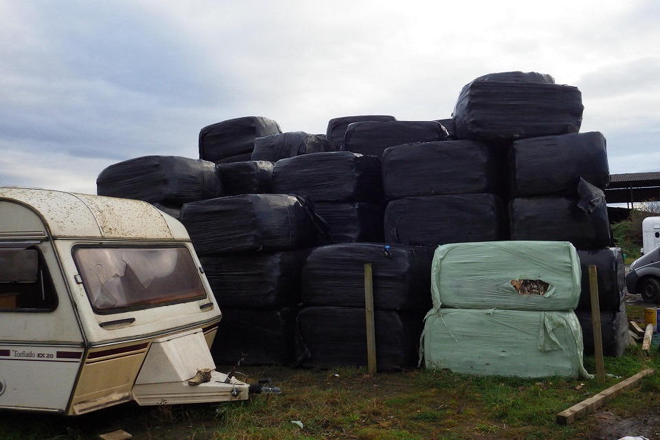
Thompson Waste Ltd runs a waste transfer station at The Parade in Hendon. The company was handed the fine by Sunderland Magistrates’ Court on 25 September 2017 after pleading guilty to charges brought by the Environment Agency for failing to comply with duty of care legislation. The legislation requires businesses to ensure their waste is transferred and disposed of legally.
Chris Bunting, prosecuting for the Environment Agency, told the court that a proportion of 585 tonnes of mixed waste, which was dumped illegally in a disused factory warehouse at Lisburn Terrace, Pallion, could be traced back to Thompson Waste Ltd. It cost the landlords of the site over £100,000 to dispose of lawfully.
Investigations showed that between September 2015 and January 2016, the company paid a local man below market rates to remove waste from their site without fulfilling their legal requirement to check it was being taken to a permitted destination. The paperwork completed failed to include required details such as the origin of the waste or an accurate description.
The Court ruled that the company had acted recklessly. In mitigation, Robin Patton, acting on behalf of the defendant, told the Court that the waste represented a tiny fraction of the company’s business and that they had co-operated with the investigation.
Thompson Waste Ltd was fined £3,335 and ordered to pay compensation of £5,394 and costs of £6,000.
Rachael Caldwell, from the Environment Agency’s Waste and Enforcement Department, said:
All producers and operators have a responsibility to ensure that their waste is disposed of lawfully. Those that don’t are as liable for the detrimental impact it has on the environment and local communities as those that dump it.
Thompson Waste Ltd broke the law over several months, showing little regard for the environment. We hope this case demonstrates the importance of environmental compliance. Anyone who breaks the rules will be pursued, and where repeated or significant breaches are found, we will prosecute.
A trial involving other defendants allegedly linked to the illegal waste dumping in Pallion is set to take place next year.
If you see waste crime taking place report it by calling our incident hotline on 0800 80 70 60 or anonymously to Crimestoppers on 0800 555 111.